Home>Events>Rogers City Blueway
Rogers City Blueway
INFORMATION ON TRAIL SECTIONS
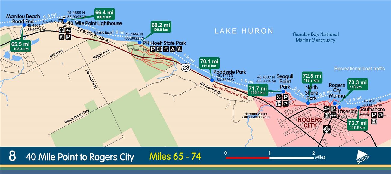
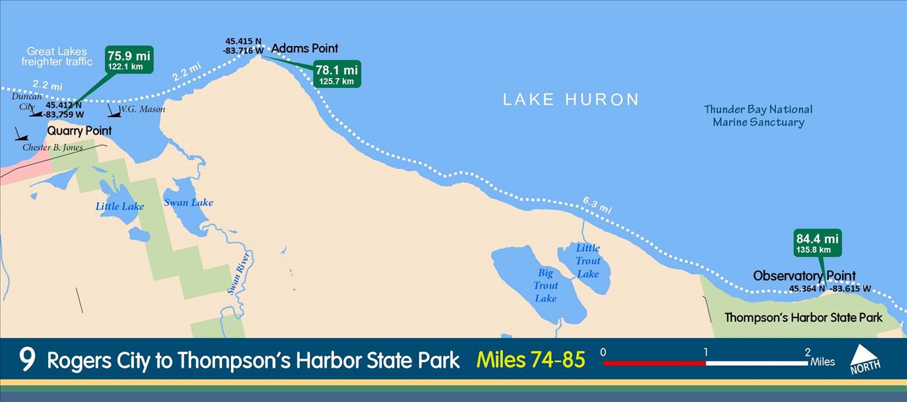
Route: ROGERS CITY WATERFRONT
Distance: 4 Miles
Access Sites: 03-13 & 03-09
Shoreline Land Use: Parks, residential and industrial
Points of Interest: Seagull Point, Marina, Calcite Harbor, limestone quarry and ship loading operation.
Rest Stops: 03-09, 03-10, 03-11, 03-12, and 03-13
Hazards & Cautions: Recreational boat traffic near city marina and Great Lakes freighter traffic around Calcite Bay.
Comments: Provides opportunities for short paddles along a shoreline with several parks.
Route: ROGERS CITY (MARINA) TO HOEFT STATE PARK
Distance: 5 Miles
Access Sites: 03-11 AND 03-15
Shoreline Land Use: Most of the coastline is undeveloped. Sandy beaches and conifer forests are common.
Points of Interest: Seagull Point, sand beaches, bike trail
Rest Stops: 03-11, 03-12, 03-13, 03-14, 03-15
Hazards & Cautions: Recreation boat traffic from the marina, especially during fishing tournaments.
Comments: This section offers a unique opportunity for a paddle and bike trip. The Sunrise Pathway runs through Rogers City to Hoeft State Park and offers some of the best Lake Huron coastline biking in Michigan.